The Chattahoochee River begins as a tiny freshwater spring in the North Georgia mountains. As it grows into a powerful river spanning 430 miles, it forms the border between Georgia and Alabama before meeting the Flint River and emptying into Florida’s Apalachicola Bay.
Few people get to traverse the entire river. Last fall, CRK staff embarked on our annual patrol of the Lower Chattahoochee. We started in Columbus, Georgia, and went all the way to Lake Seminole. While the purpose of our trip was to monitor water quality in this part of the river basin, it was remarkable to observe the changes in flora, fauna, and geological formations as we traveled south. Here are some of the highlights.
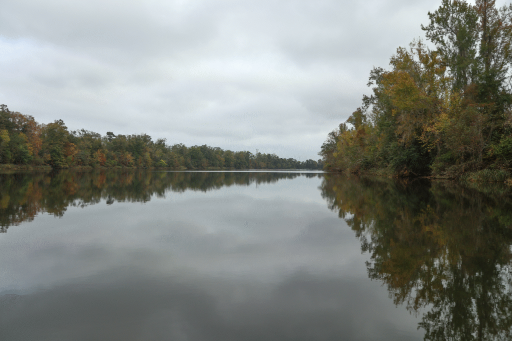

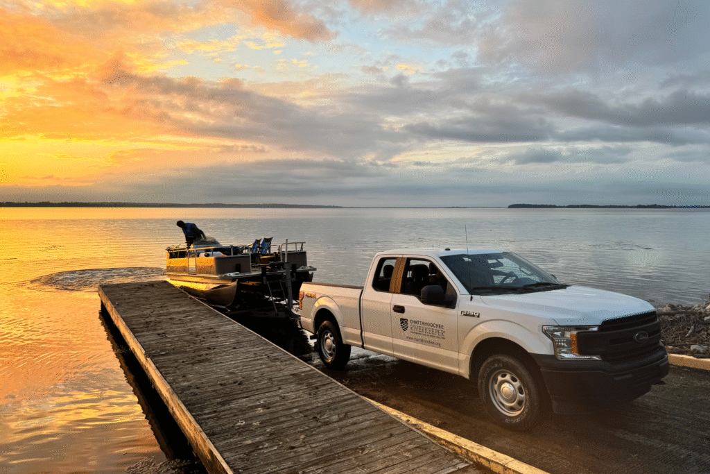
On a cool November morning, the patrol crew met at Rotary Park in Columbus to load up our gear. We set off for Lake Eufaula, stopping to sample water quality at several spots along the way. Skies were overcast, but there was plenty of life to see, from great blue herons wading along the banks to towering sycamore trees spreading their branches out over the water. The riverbanks here are a sandy clay mixture that is typical of the coastal plain geology and give the river its notable reddish coloration.
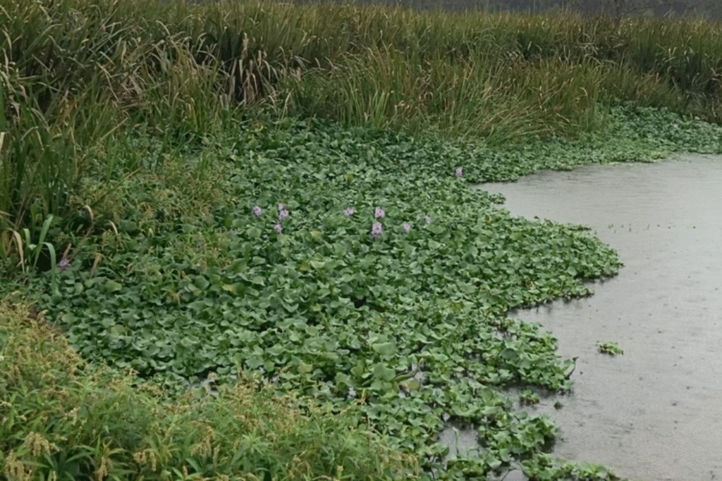
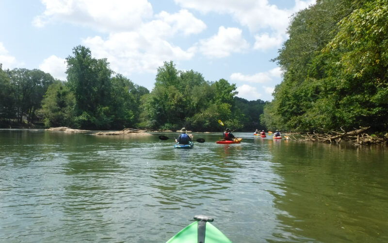
As we neared Riverbend Park, our luck ran out. A strong storm made conditions tough for navigation, but our intrepid Riverkeeper Jason Ulseth kept us moving south. Despite the weather, we spotted herons, egrets, and other birds around every bend, bursting into flight as our paths crossed. In this stretch we started to notice water hyacinth floating on the river’s surface. Though beautiful, this aquatic plant is highly invasive, clogging waterways and choking out the native vegetation.
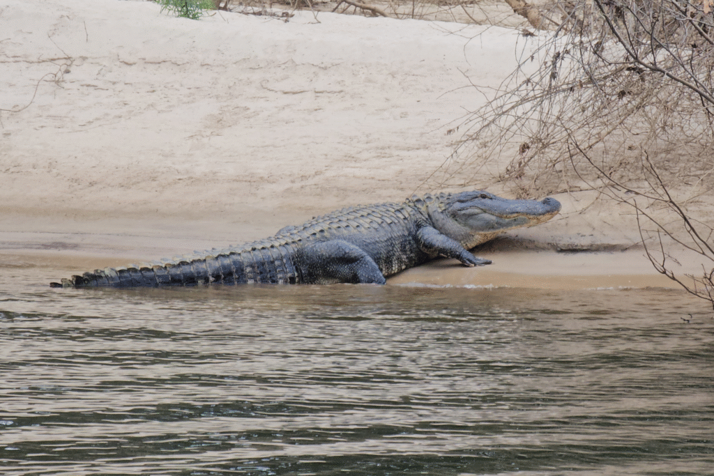
Once the rain let up, it was smooth sailing on Lake Eufaula. Here we spotted our first alligator of the day; startled by our boat, it quickly slipped below the water. As we passed by birds peered at us from their comfortable perches on logs and buoys.
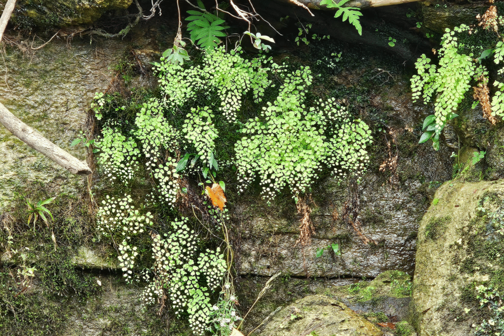
Below Walter F. George dam, the landscape changes rapidly. The river is bordered by high limestone cliffs that reveal a deep geological history, reminding us that these lands were once underwater in prehistoric times. The rocky terrain supports a different range of plant life, including ferns and other species adapted to limestone outcrops, while native trees like sycamore and birch become less common. In this area we observed eagles soaring above and large alligators basking along the water’s edge.
This article originally appeared in the Winter/Spring 2025 issue of RiverCHAT.
Related Posts
How cuts to the National Park Service will harm the Chattahoochee River
Continue scrolling or click here to send a customizable message to your lawmakers. What if the Chattahoochee River National Recreation Area went away? What if the United States government sold…
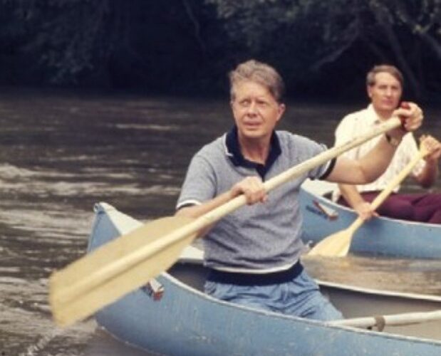
President Jimmy Carter: A champion of the Chattahoochee
President Jimmy Carter was a visionary leader who made advocacy for our nation’s lands and waters a cornerstone of his long career of public service. A Georgia native, Carter loved…
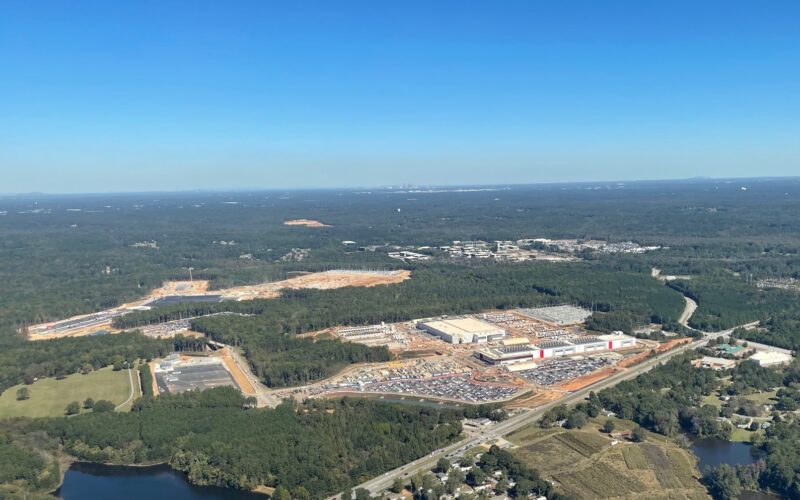
Explosive data center growth in the Chattahoochee River Basin
Within the last few months, public interest in data centers near the Chattahoochee River has grown considerably. Two recently proposed facilities – including one of the largest in Georgia –…