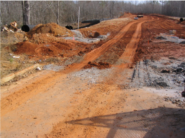
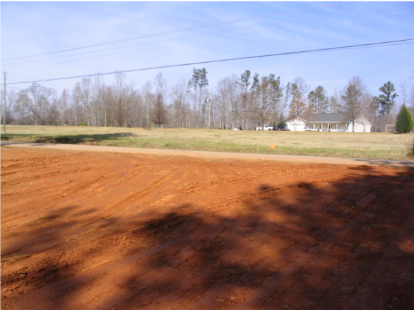
First, look for signs that construction activity is happening. Zoning signs, staging of construction vehicles, silt fences, and initial site-clearing activities are good signs that construction activities are beginning. But that doesn’t mean there is a problem. Problems around the site such as muddy water flowing down streets and in gutters, muddy colored streams or waterways that don’t normally look muddy, and tracking of mud in roads would indicate a problem.
Common Problems
1. Failure to Design, Install, or Maintain Best Management Practices (BMPs)
To keep sediment from leaving a construction site, developers need to implement a system of BMPs. There are 3 keys to BMPs: proper design, installation, and maintenance. Below is a list of common BMPs and photo examples of proper and improper design, installation, and maintenance.
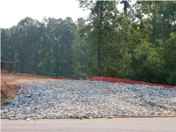
Construction Exit
A stone pad where traffic leaves a construction site to eliminate the transport of soil to public streets.
What to look for: Is dirt being tracked onto the road? Are construction materials or equipment being stored on the construction exit?
A – Excellent stone coverage. No mud tracking onto street. (below left)
F – Very poor stone coverage. Significant mud tracking and flowing onto roadway. (below right)
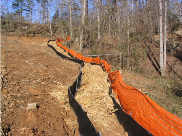
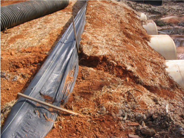
Sediment Barrier
Silt fence or straw bales used to slow runoff velocity. The barriers cause sediment deposition at the structure, and filters sediment from runoff.
What to look for: Are they falling down? Not properly trenched? Creating a point source conduit for the water? Over half full of sediment?
A – Excellent silt fence installation. (below left)
F – Complete barrier failure. Significant quantities of sediment passing this barrier. (below right)
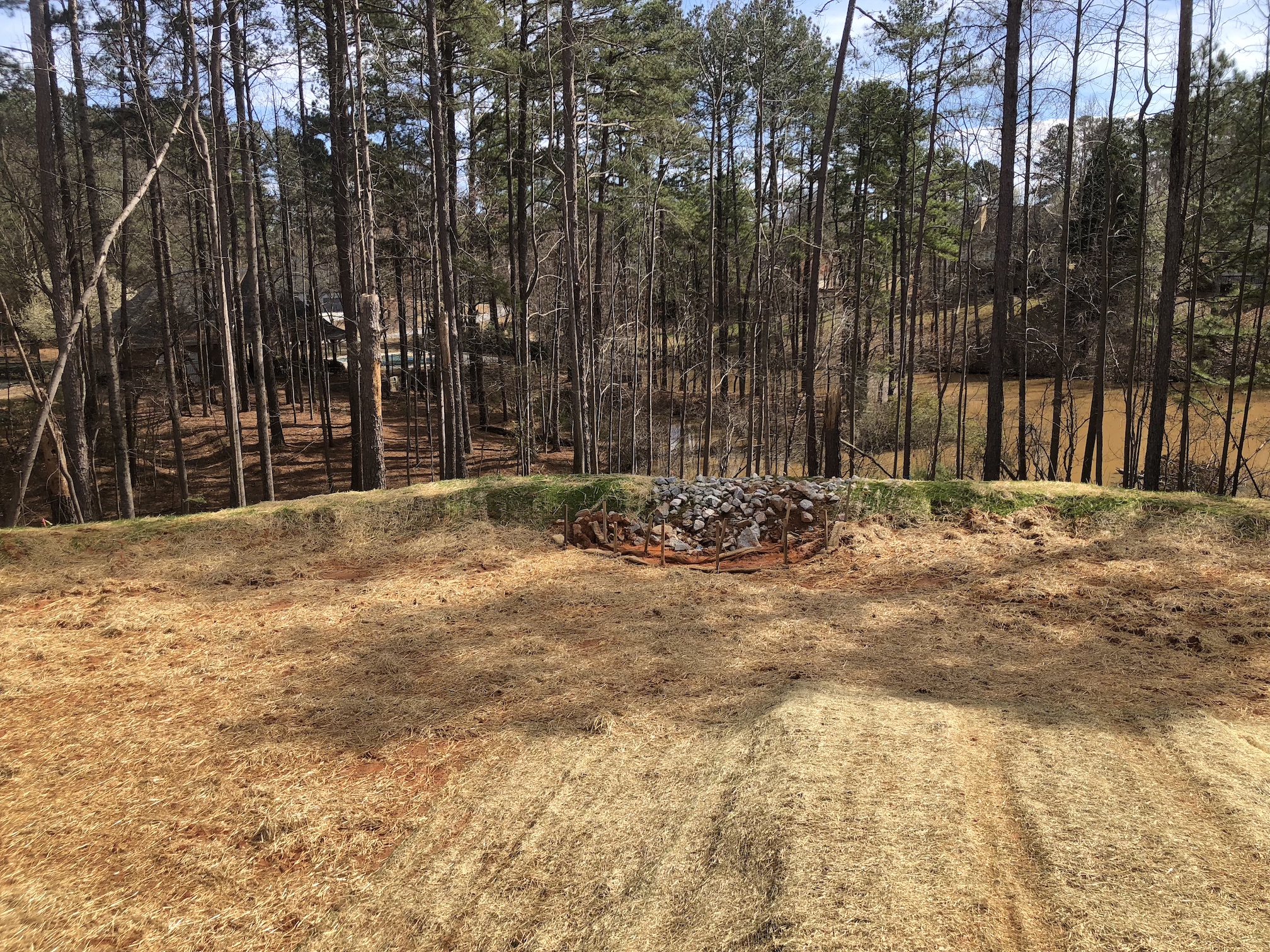
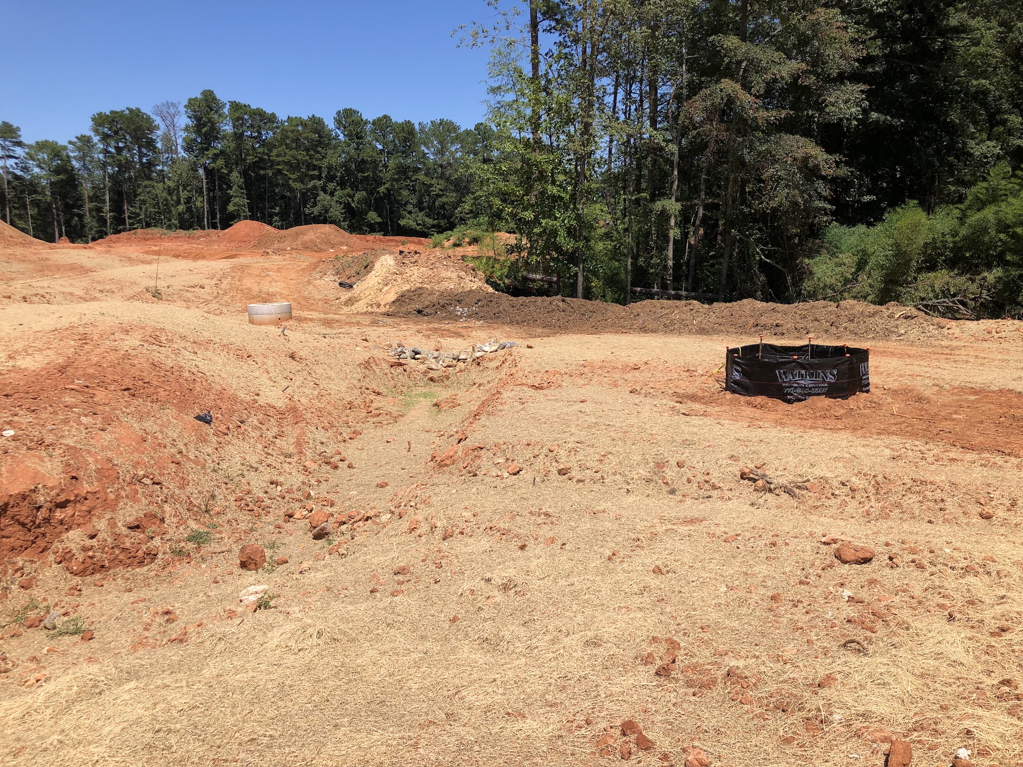
Check Dam
Small stone barrier installed across a swale, ditch, or area of concentrated flow to reduce runoff velocity and filter sediment from runoff.
What to look for: Is there evidence that sediment is passing through or around the barrier?
A – Excellent placement, sizing and overflow notch.
F – (example below)
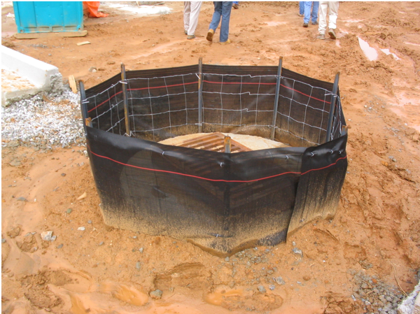
Inlet Trap
Sediment barriers placed around a storm drain drop inlet to prevent sediment from entering a storm drainage system.
What to look for: Is there evidence that sediment flowing around the trap and into the inlet?
A – Excellent stone sizing and placement. (below left)
F – Very poor maintenance. No protection. (below right)
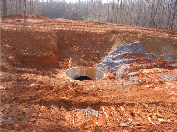
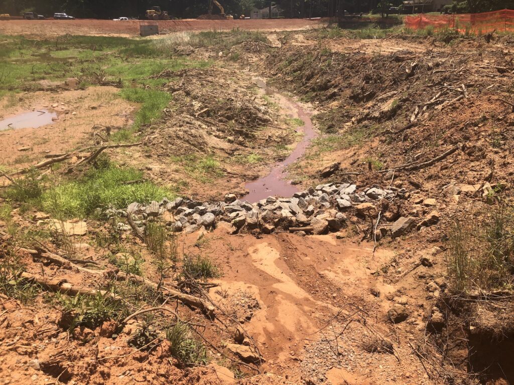
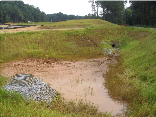
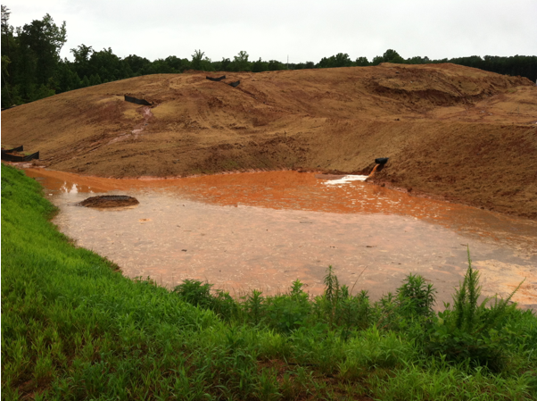
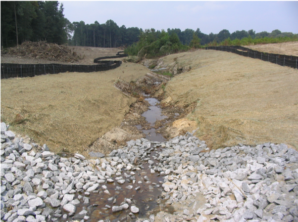
Sediment Basin
A basin created to detain runoff waters and trap sediment. It has a perforated stand pipe and gravel to filter the stormwater before it reaches the stream.
What to look for: Is the structure placed in a stream? Is sediment reaching the outlet/outfall pipe? Does the basin have vegetation stabilization?
A – Perforated standpipe with gravel filter in place. (below left)
F – No vegetation. Perforated stand pipe with gravel filter is missing. (below right)
Mulching
A temporary cover of straw or mulch applied to soil reducing rainfall impact, runoff, erosion, and conserving moisture.
What to look for: Has the site been left unstabilized and without vegetation? Is the straw/hay mulch spread unevenly and less than 2-4 inches depth?
A – Good straw coverage. (below left)
C – Good coverage of mulch and temporary grass, but runoff has exposed some areas.
F – Completely inadequate coverage. (below right)
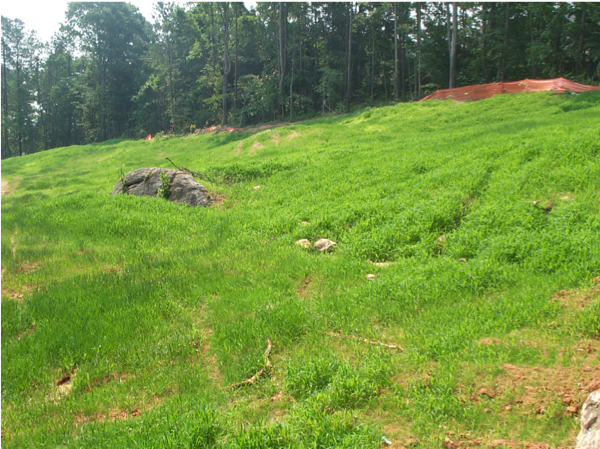
Vegetation
A permanent cover of vegetation applied to soil reducing rainfall impact and erosion, conserving moisture and increasing sediment removal from runoff.
What to look for: Dense vegetation with no exposed areas or patches of dead vegetation.
A – Excellent coverage with synthetic mats and vegetation. (below left)
F – Poor vegetative cover. Large bare spots. Extensive erosion taking place. (below right)
2. Failure to Identify State Waters
Georgia defines state waters as ‘all surface or subsurface water bodies, natural or artificial, lying within or forming a part of the state boundaries, which are not entirely confined upon a single private property.’
It’s important to note that water bodies do not necessarily have to be mapped or contain observable aquatic life to meet the State Waters definition.
If a construction site has a defined state waterway on their site, they need to implement additional BMPs to protect the stream and adhere to state and local stream buffer disturbance laws.
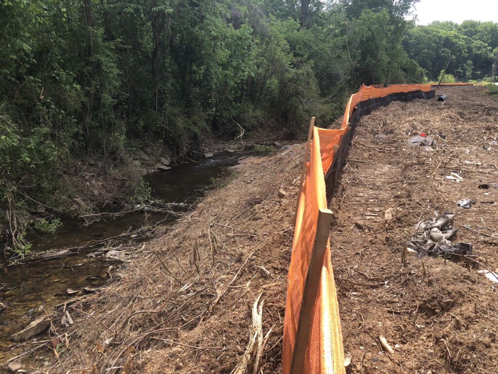
3. Stream Buffer Violations
What is a stream buffer?
A stream buffer is an area along a waterway where development is restricted and the removal of vegetation is prohibited.
Why are buffers important?
Buffers are important because they:
- Physically protect and separate a stream, lake or other waterway from future disturbance or encroachment.
- Reduce flooding and erosion, acting as a right-of-way during floods.
- Provide shade and nesting for birds while moderating water temperatures for aquatic life.
What does Georgia law require?
Georgia State Law requires a minimum of 25-foot undisturbed buffer along the banks of all state waters. (A 50-foot buffer if classed as a “Trout Stream”).
Note that local governments may require additional buffers. Local buffer laws can be found in municipal ordinances. There are exceptions to the state buffer law, including encroachment by roads, bridges, sewer/water lines, and drainage structures. Developers may apply for special variance to disturb the buffer, which must be granted by the director of EPD.
Common Buffer Violations
- Disturbing a buffer without obtaining a variance, granted by the director of EPD.
- Improper delineation of the buffer, resulting in buffer encroachment.
Learn more about the impacts of excessive sediment in our waterways.
Learn more about the laws and permits governing land disturbing activities.